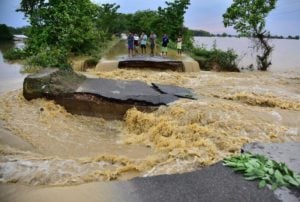
Bundelkhand, a region shared by the massive Indian states of Uttar Pradesh and Madhya Pradesh, is often in the news for drought. But in August last year, it was floods in Bundelkhand that dominated the news cycle.
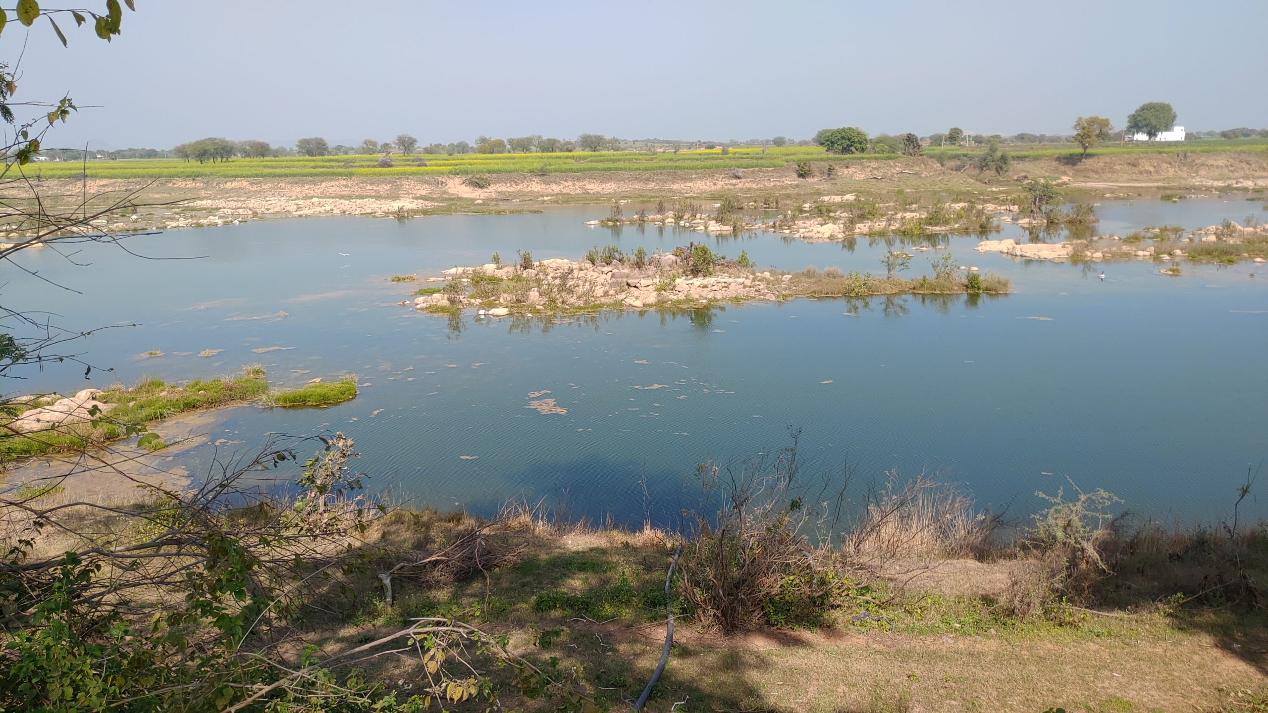
Starting on 3 August 2021, some areas within the region experienced unusually high rainfall, triggering widespread flooding along the Sindh River, a major tributary of the Yamuna which flows through the region.
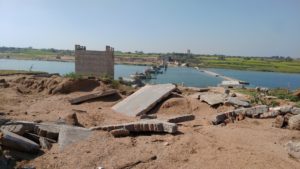
Houses collapsed, cattle were killed, and fodder decimated. Three concrete bridges across the Sindh River – at Seondha, Ratangarh temple and Laanch – were completely destroyed, and others were damaged as the river rose. Since Bundelkhand is divided between two states, the scale of damage proved hard to quantify, but within a week, more than 350 villages in Uttar Pradesh alone had been inundated by floods.

Months later – a journey down the Sindh
Months after the floods, when we started our walk along the Sindh River at Seondha in Madhya Pradesh, the effects of the flood were still very much evident. We met farmers Naresh Vishwakarma and Jairam Baghel. They showed us how the river sand, had been dumped on their lands by the floods – unfertile and unsuitable for their crops. Boundary walls were toppled, and repair work was still ongoing on their machinery. Jairam said that his crop of jowar-bajra (sorghum-millet) was ruined in the flood.
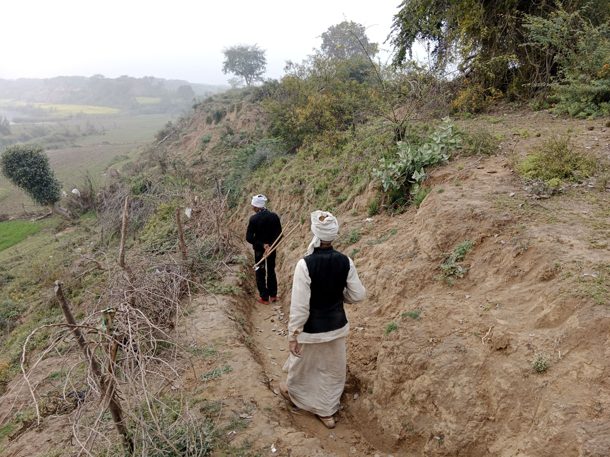
Speaking to farmers as we walked through areas hit by the August 2021 floods, it was terrifying to hear about the flood’s intensity as the villagers described the damage caused. They pointed to the tops of houses and trees, showing how high the water had risen.
Kaptan Singh, a 75-year-old resident of Dhamdholi village in Shivpuri district told us: “I have not seen such floods in my life. Earlier during floods, water levels would rise but the river didn’t enter our village. The paddy grown in 27 vigha [7.44 acres] area of my farm was destroyed in the floods. While I received a compensation of INR 5,000 [USD 65] some others did not receive any compensation. The patwari [village level administrative officer of the revenue department] is responsible for distribution of the compensation.”
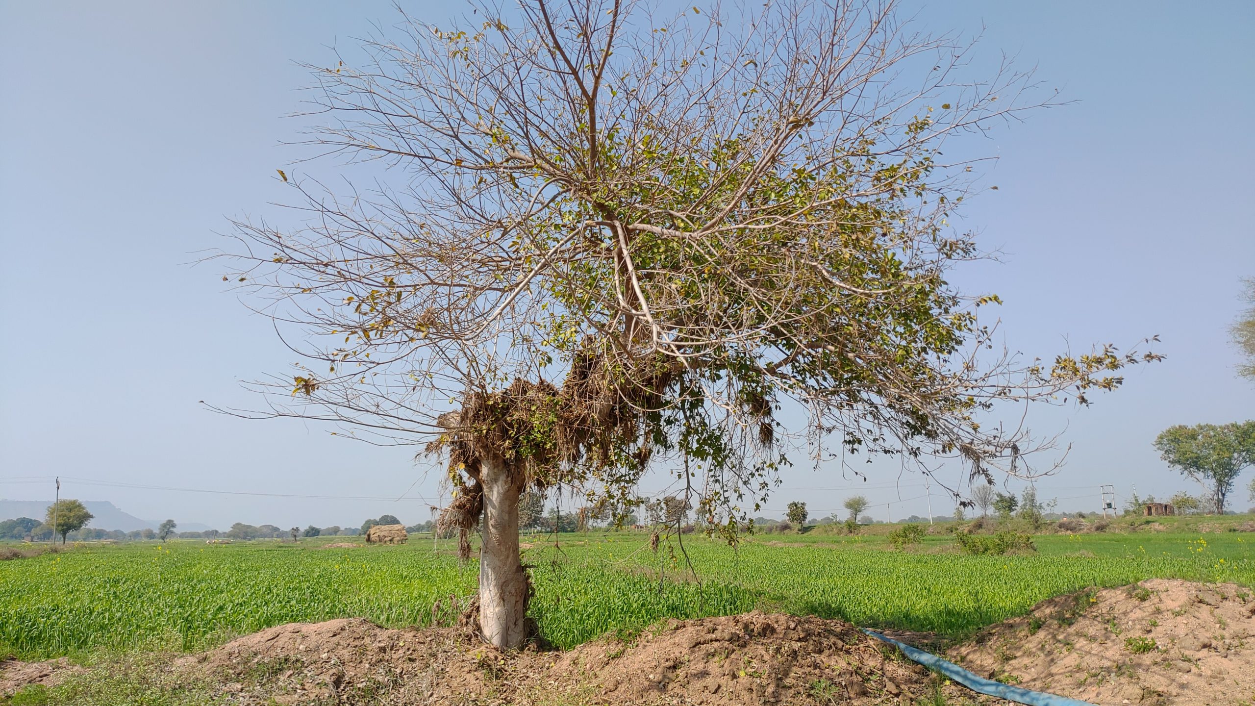
The flood has left its imprint everywhere, including in sand deposited on farms where wheat is now growing, having been picked up by the floodwaters.
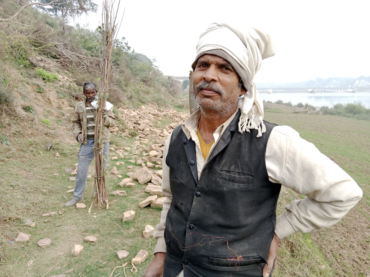
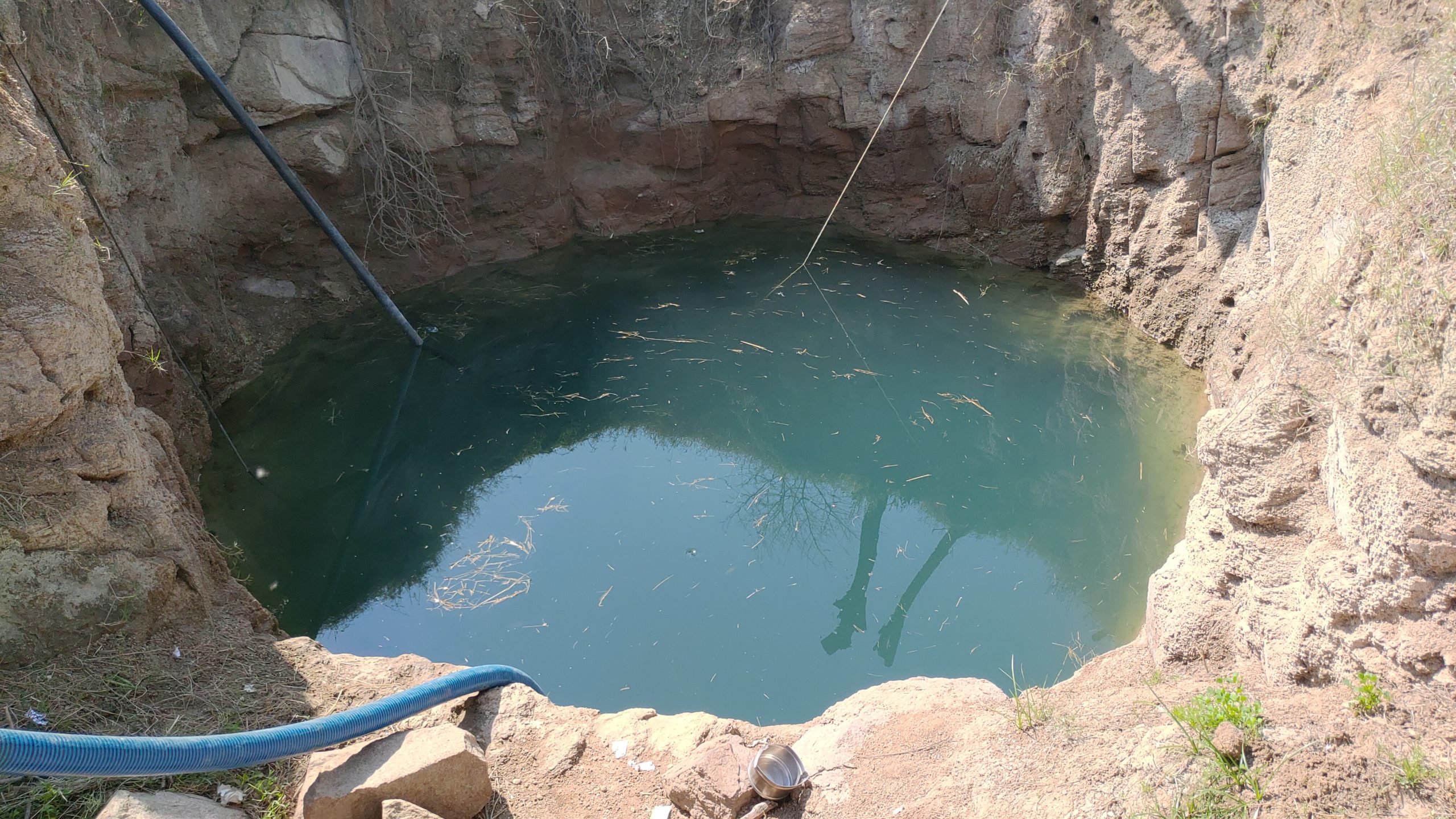
Suresh Kushwaha, from Sarkhadpur village offered us water from his open well when he saw us walking with our luggage. Suresh explained that the water level in the well was unusually high. “After the floods our wells have rocks and silt deposition, because of which the water levels have risen,” he said.
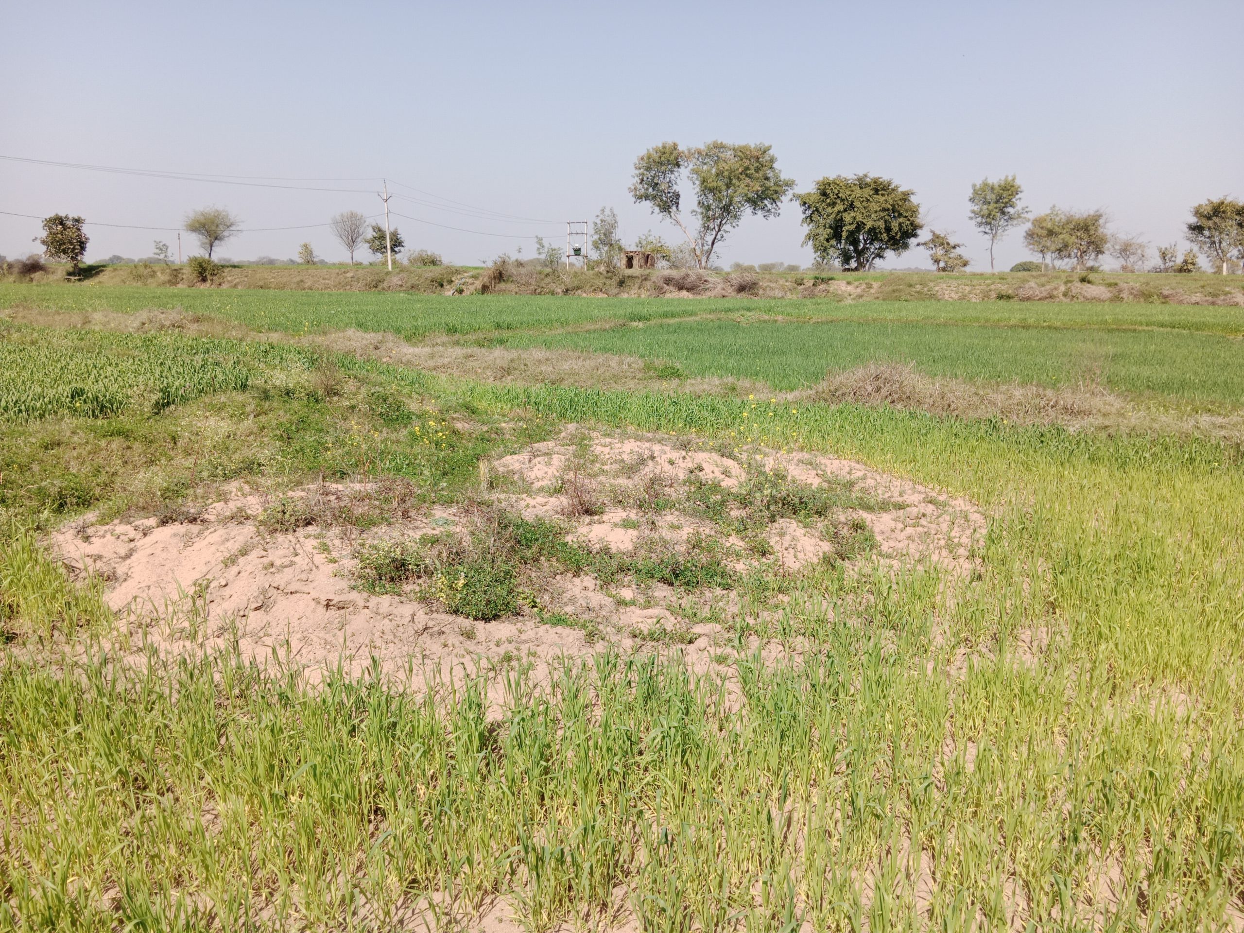
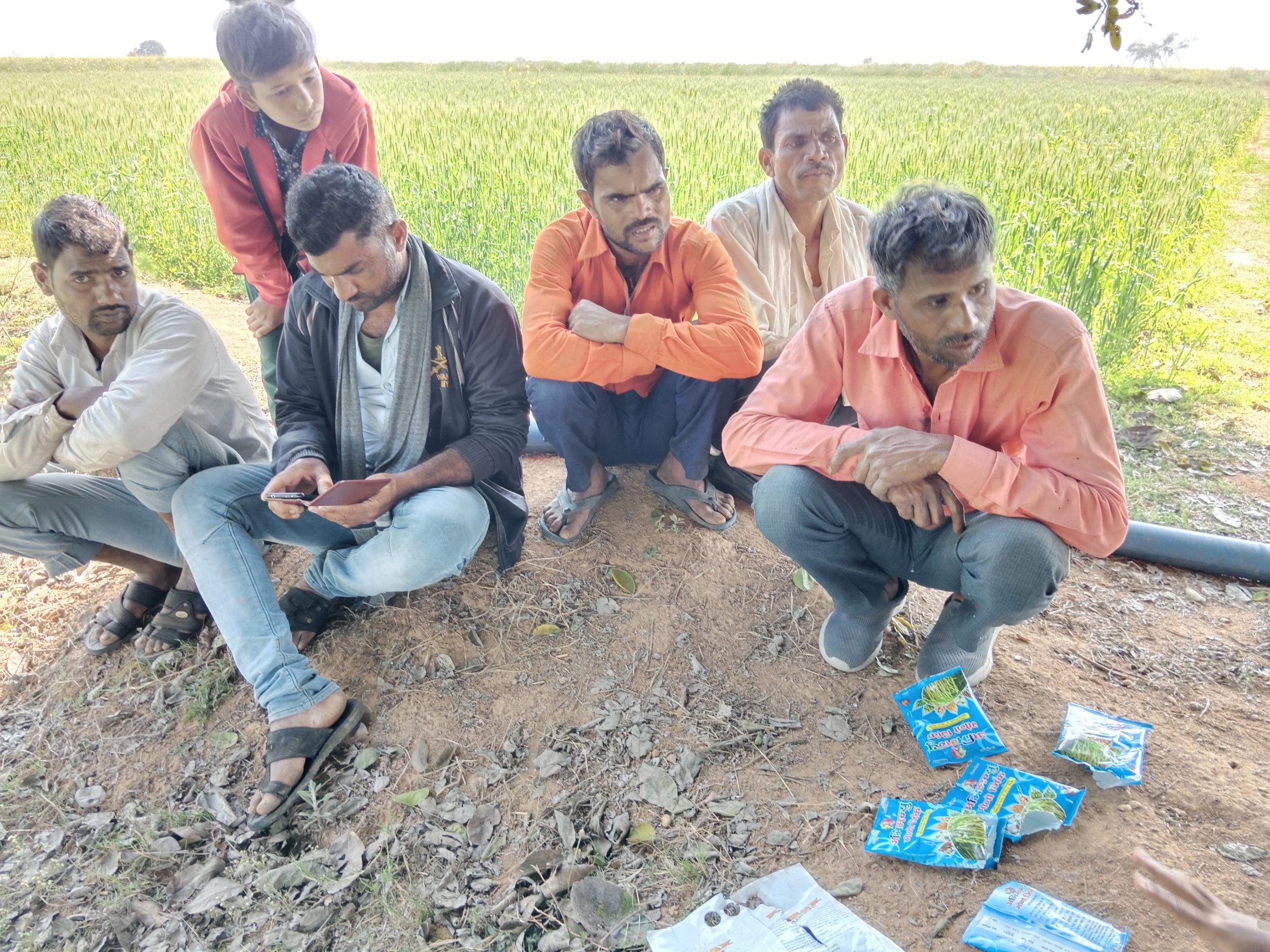
Suresh was among the many farmers who showed us the damage sustained by their farms, motors, and electricity lines in the August 2021 floods. Suresh told us that aside from the winter crops of paddy and groundnut being destroyed, the fertile topsoil of their farms was eroded, exposing a hard rocky layer which is unsuitable for cultivation. Farmers of the village had to transport fertile soil from other areas and use more fertilisers than they would usually need to compensate.
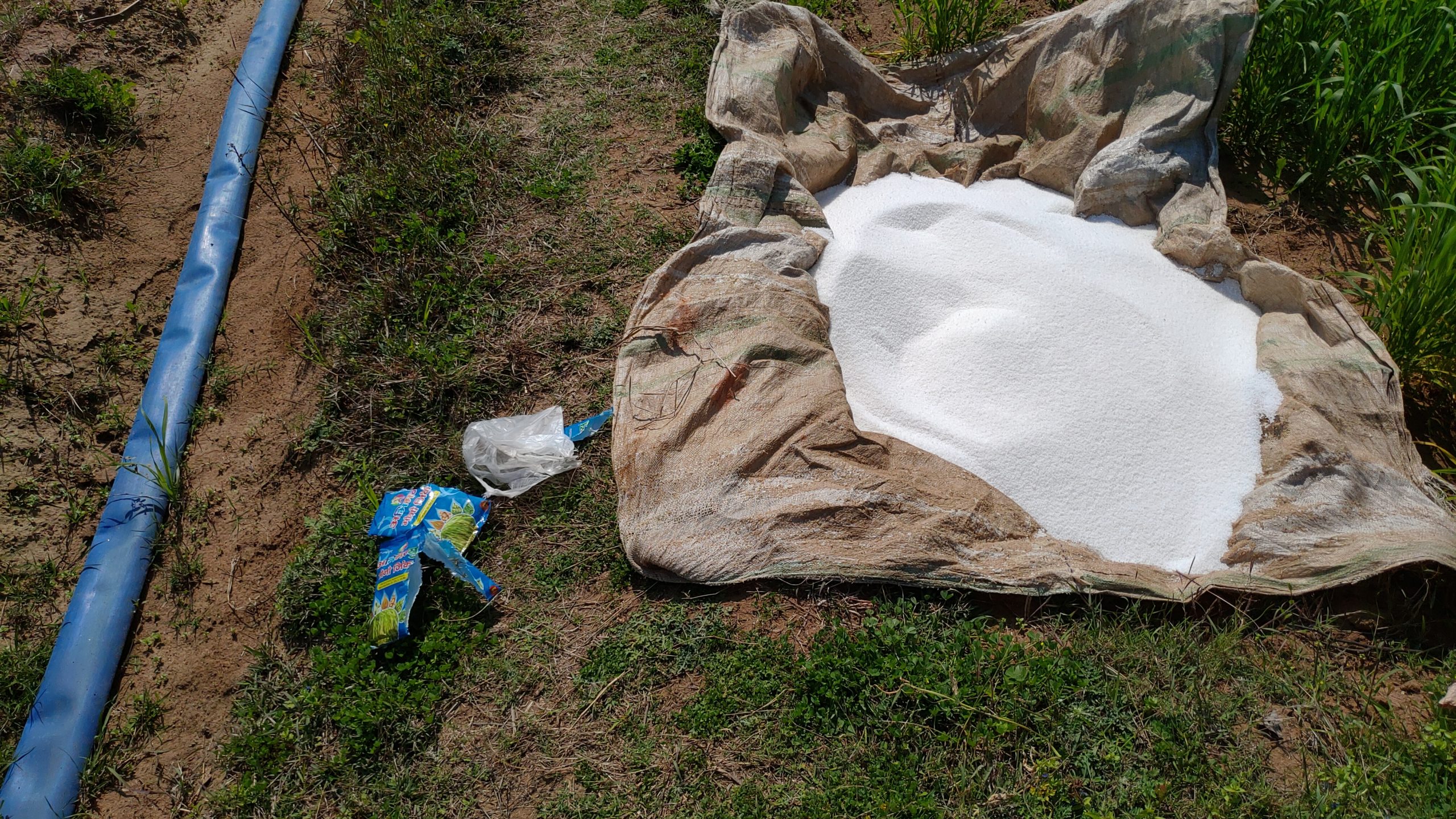
“People representing a fertiliser company made regular visits to our village and told us to add 25kg urea, 10kg potash, one bag of super fertiliser and several packets of zinc,” Suresh said. “We were told that zinc, especially, needs to be added since the top soil is eroded completely.”
The extra expense is an additional hardship for the farmers, while the artificial management of soil fertility through chemical fertilisers may have long-term consequences on the environment.
Dams, irrigation, and flood management
The Mohini Pickup reservoir and Madikheda (Or Atal Sagar) are the two main dams on the Sindh. They are part of the Sindh Phase II Major irrigation project, started in 2010-2011 at a cost of INR 74.66 billion (approximately USD 1 billion), to help ameliorate the droughts that often hit the region.
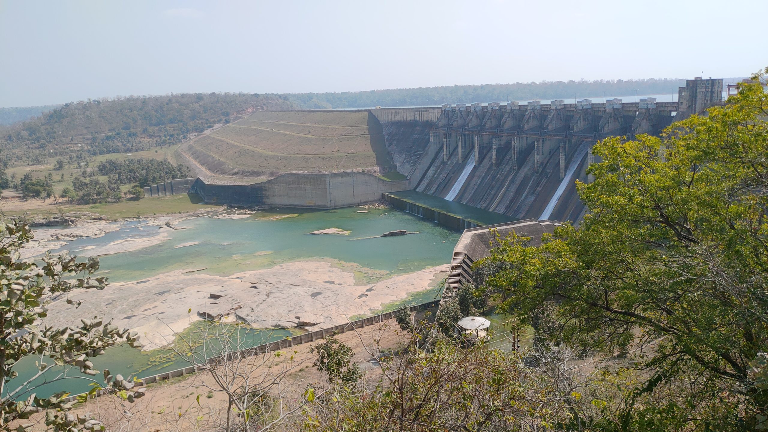
This irrigation project has led to increased surface water availability and a rise in groundwater levels, of help to farmers. But during the heavy rainfall last August, the operation of the dams added to the disaster. On 3 August 2021, all 10 gates of the Madikheda dam were opened. Three out of the 25 gates of the Mohini dam had started opening on the evening of August 2. Many villagers were unaware of this, and the sudden rise in water caught them unaware. During the night of 3 August, they scrambled from their homes to find points of higher elevation, away from the water.
Hemant Rawat, sarpanch (head of an elected village committee) of Behgawan village in Shivpuri district blames a lack of management for the floods. “Since there was heavy rainfall in a short time, the governing authorities should have opened the gates and released water from the dams sooner,” he said.
Links to climate change?
Despite the severity of the August 2021 floods, the total amount of rainfall that fell in Bundelkhand through summer 2021 was about average – Madhya Pradesh received 945.2 mm of rainfall between 1 June and 30 September, compared to the average of 940.6 mm. The difference was how concentrated the rainfall was.
Some places within the region saw much more rainfall than others, especially Shivpuri, Guna and Datia. The Madikheda and Mohini dams are located in Shivpuri district. Guna and Vidisha are the upstream districts of River Sindh, which partly contribute to dams’ catchment area.
Rainfall was also concentrated in time, being much more intense in early August. This greater unevenness of rainfall is a clear impact of climate change.
| Datia | Shivpuri | Guna | Vidisha | |||||
|---|---|---|---|---|---|---|---|---|
| Rainfall (mm) | Normal | Actual | Normal | Actual | Normal | Actual | Normal | Actual |
| Aug 1 | 8.2 | 6.8 | 10.3 | 6.61 | 11.9 | 24.4 | 14 | 12.55 |
| Aug 2 | 7.5 | 79.96 | 12.8 | 119.17 | 10.4 | 87.95 | 13.6 | 29.63 |
| Aug 3 | 8.5 | 51.67 | 11.2 | 231.89 | 14.2 | 139.6 | 12.6 | 49.43 |
| Aug 4 | 7.4 | 2.95 | 9.3 | 32.27 | 11.8 | 74.25 | 13.9 | 9.24 |
Increasingly variable and unpredictable rainfall has huge implications for agriculture in Bundelkhand. But government action to deal with the long-term consequences appears limited. The Indian Council of Agricultural Research started the National Innovations in Climate Resilient Agriculture programme in 2011 to assess the vulnerability of agriculture to climate change and demonstrate technology that could help with adaptation. But on the ground, a decade later, there is little evidence that any lessons have been implemented.
When asked about how climate change is impacting agriculture and irrigation in Madhya Pradesh, Preeti Maithil, the agriculture director of the state replied: “Climate change is mostly dealt by the Environment Ministry.” We also sent some questions to the office of Ajit Kesari, additional chief secretary of the Madhya Pradesh Agriculture Department, and further questions to the office of Preeti Maithil. This report will be updated when they respond.
The lasting impacts of last year’s sudden rainfall, along with the lack of coordination between farmers and dam officials, show the need for a whole-of-government approach to the increasing risks faced by the region’s farmers from a changing climate. Yet according to Piyush Ramteke, research scientist and programme manager at the Gujarat Institute of Disaster Management: “The approach of the concerned governing authorities is still at the level of managing disasters and does not include preparing for climate change.”
Editor’s note: Aishani Goswami and Rahul Singh walked for 155 kilometres along the River Sindh under the ‘Moving Upstream: Sindh’ Fellowship offered by Veditum India Foundation from 23 January to 3 February, 2022