
The following excerpt is taken from a book that chronicles the social and ecological impacts of a disaster facing the Brahmaputra Valley in Assam. It attempts to understand the processes contributing to the disaster, and how it has reshaped people’s lives and local ecologies.
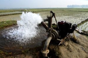
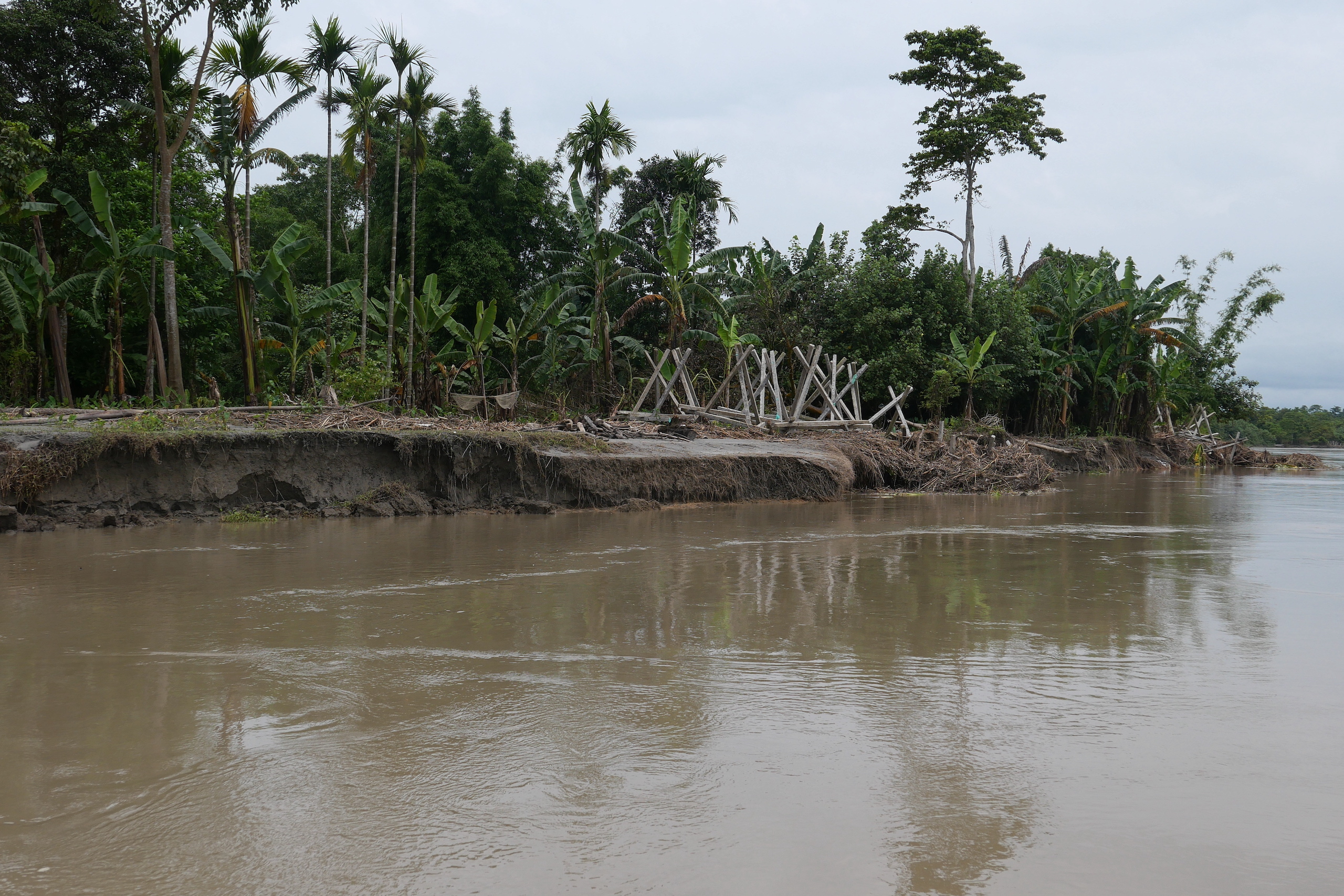
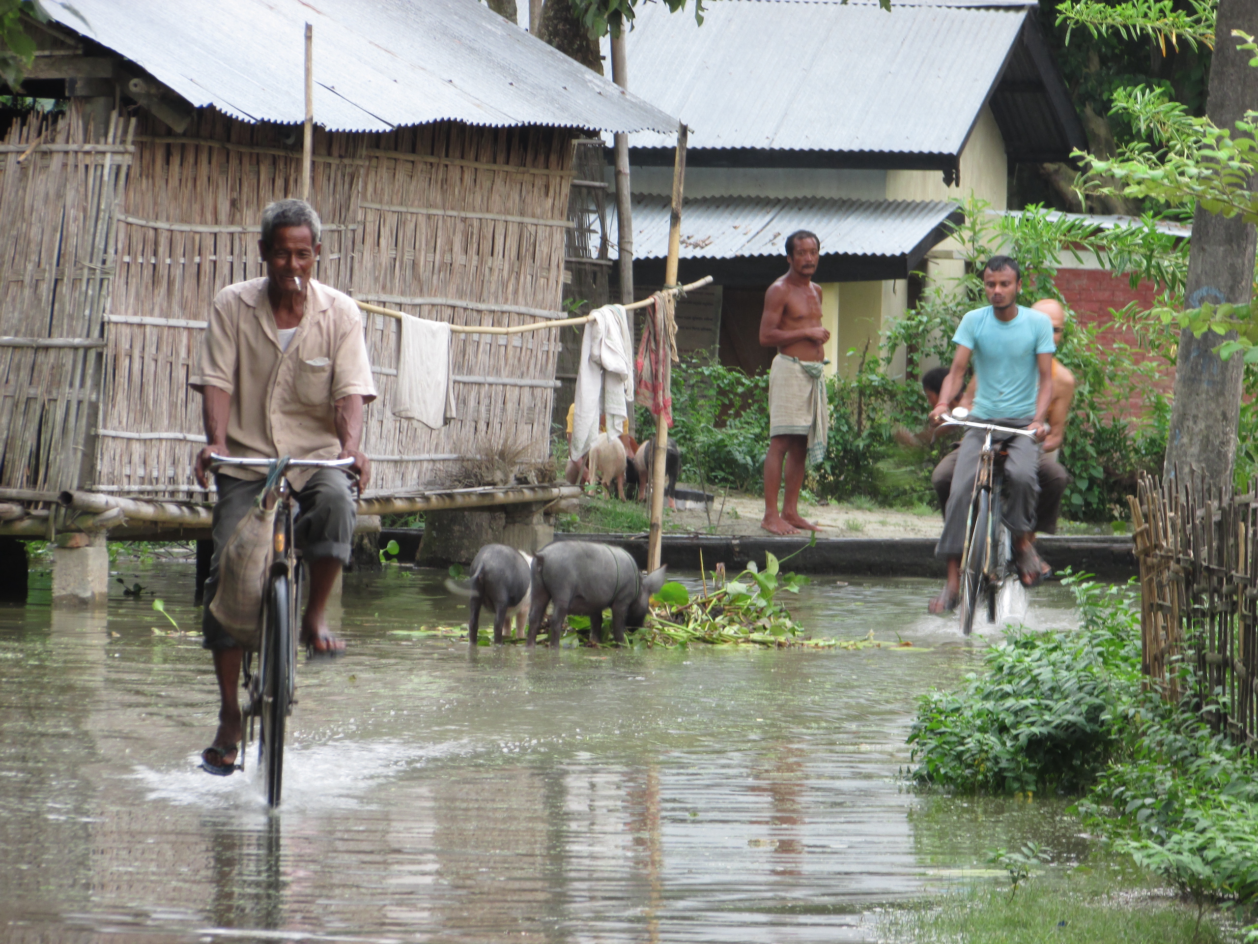
The Indian state of Assam is one of the most flood- and erosion-prone in the country. Floods devastate the state in multiple waves every year, while riverbank erosion has led to the loss of over 7.5% of the state’s total landmass, which is roughly 4,000 sq km, just in the second half of the 20th century. During this period, more than 2,500 villages and 18 towns, including sites of cultural heritage, have been erased from the land, rendering millions of people homeless.
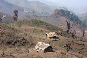
Slow Disaster draws on fieldwork conducted in Majuli, believed to be the largest river island in the world, located in the middle of the Brahmaputra River. Unfolding in a slow, incremental manner, floods and erosion reduced Majuli’s landmass from 1,255 sq km to about 421 sq km over the 20th century; rendered over 10,000 families homeless, some repeatedly; and forced thousands of others to outmigrate to different places across Assam. The crises facing Majuli, and Assam in general, can be partly explained by the extreme instability and volatility of the Brahmaputra system – its dynamic fluvial geomorphological processes and the highly potent South Asian monsoon; but for the most part, it is rooted in the specific role played by the Indian state. This book dives deep into the political ecological processes of the crises.
I first came across Manik Hazarika’s name while reading an article in our local daily, The Dainik Janambhumi, in early January 2013. The short news item included a list of a few families that had been affected by the ongoing riverbank erosion in Majuli, of which Salmora resident Manik Hazarika’s was one.
I was immediately intrigued by the story since it was an unusual time of the year for riverbank erosion. I left the next morning for Salmora, a village on the banks of the Brahmaputra at the southernmost tip of the island. It was a cold, wintry day, and the whole island appeared to be under a thick blanket of fog. A two-hour motorcycle ride on an embankment later, I reached Salmora and went straight to the gaonbura’s (village headman) house. He gave me updates about the erosion crisis over a few rounds of lal-saah (hot black tea), following which we headed out to the riverfront.

We stopped at Manik Hazarika’s house. A frail man in his mid-80s, Hazarika was on his verandah gazing pensively at the mighty Brahmaputra. His three sons were working on the family farm adjacent to the house, which worked like a buffer between the house and the river.
Soon the gaonbura left, and I spent the rest of the day with Hazarika and his sons listening to their stories. They told me about floods, riverbank erosion and displacement, and how these processes constantly re-configured the Salmora geographies. The family had been living in their stilt house with its wooden floor, tin roof and bamboo walls with earthen plastering for 11 years. But now, the relentless riverbank erosion so close to their home had the family in a grip of uncertainty. “We are simply taking one day at a time,” said the old man in despair.
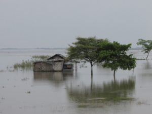
A few weeks later, in mid-February, I visited the family again and found their stilt house was gone, the farmstead had disappeared, and that they had moved into a makeshift tent nearby. Barely a month from then, the Hazarikas had to relocate yet again, this time near the embankment – a safer place, ostensibly – where they attempted to rebuild their home once more over the next couple of months. When they first moved to this new location, only three or four other families lived there but over the course of the year, dozens of families were forced to make it their home as the slow but steady process of riverbank erosion continued.
“We have been like aghoris (nomads),” exclaimed Manik Hazarika in one of our conversations. He continued: “We do not have a permanent home, always moving from one place to another. The government does not care about us. We are like forgotten citizens.” During his lifetime, Hazarika relocated his family 12 times, yet he could not recall ever receiving any rehabilitation support from the government. Each time the family was displaced they lost more assets and their meagre landholding shrank further and further.
Two years after I first met him, Manik Hazarika died one night after a meal of rice and fish with his wife and sons. He went to bed and never woke up again. His youngest son called me the next morning to say: “Deuta dhukal” (father died). I said to myself: ‘Perhaps he will not be an aghori anymore.’
A few kilometres west of Salmora was Sumoimari village. Here, too, I heard similar stories. Robiram Kutum, perhaps in his mid-70s, once owned more than 200 cattle and a sizeable farm in a nearby chapori. However, a massive flood in 1987 changed Kutum’s life forever. His daughter Rumi recalled the night of horror as she described what had happened. That night, it came like a flash flood, drowning most of their cattle instantly on the khuti (cowshed). The untied younger ones were washed away, and the few that miraculously survived eventually succumbed to starvation at their temporary camp on the embankment.
“After the 1987 flood, my father stopped behaving normally,” said Rumi. She continued: “Any conversation about that flood brings him to tears. I think he has not yet recovered from the trauma he suffered in 1987. He has stopped talking and does not go out anymore, not even to the neighbour’s house. The sight of so many of his cattle drowning at the khuti in front of his eyes still haunts him.”
Rumi added that between 1987 and 2013, the family had moved from one location to another four times because of riverbank erosion. Her eyes flashing with anger, she said:
“We have not yet received any compensation from the government – neither for the flood damages nor for the repeated displacements. The government makes a lot of promises, more so during election time, but these are false promises, promises that are never kept.”
Manik Hazarika and Robiram Kutum’s families were not the only ones to have suffered devastating losses due to flood and riverbank erosion, nor were Salmora and Sumoimari the only vulnerable villages in Majuli. Rather, their cases exemplified the crises facing the island as a whole and the riverside villages in particular.
‘Slow Disaster: Political Ecology of Hazards and Everyday Life in the Brahmaputra Valley, Assam’ by Mitul Baruah is published by Routledge and is available here.